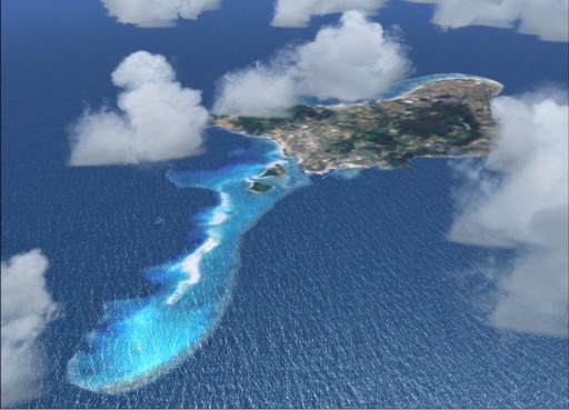
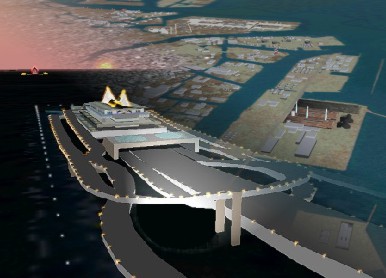
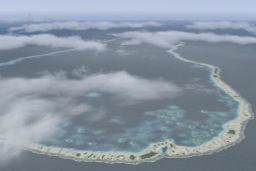
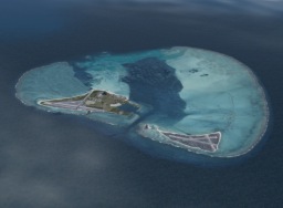
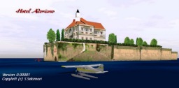
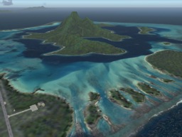
The following pictures are screen shots of Microsoft(R) Flight Simulator which the add-on sceneries are built in.
South West Islands are located around Okinawa: N31 E131( northeast ) to N24 E123( southwest ).
I was designing this scenery from 2007 to 2008.
The bases were images of Landsat and elevation data of Shuttle Radar Topography Mission( SRTM ).
But I stopped the design of this scenery from various reasons.
There was a chance to see a recent Landsat image including Okinawa Island several months before.
Surprisingly, Okinawa of the image was not covered by clouds.
Furthermore, the image of Iriomote was not covered by clouds, too.
And I resumed the design of this scenery.
The Tuamotu Archipelago Scenery includes the Rangiroa Scenery
which I had designed already.
In Tuamotu, the 78 islands are sprinkled over a vast sea area
which almost equal the areas of Europe.
Tuamotu archipelago consists of big and small, various atolls.
Rangiroa, Fakarava and so on have a huge lagoon,
while there are extremely small atolls as lovely as a cake.
At the northwest region of the archipelago,
the main atolls are spread out from the northwest to the southeast.
It is called the "Chain Islands" where the atolls range like a double chains.
The outline of the atoll looks like really a butterfly that expanded the wing.
I could hardly believe my eyes that there is such an island.
However, this island exists.
I designed scenery of this island for FS2000 before.
However, an accurate place on the island cannot be specified to our regret,
and it has become an incomplete work at that time.
The true position of the island was understood by the mail sent to me from a certain person several years later.
Butterfly Island was located in the north of New Guinea
and the south-southwest of the Manus island.
In 2005, I opened it to the public as a add-on scenery for FS2004.

in Flightsim's February Monthly Contest 2005.
This work is scenery that began to work from 97 years of the Aqua-line opening to traffic.
It is my first add-on scenery,
and a work that has repeated the renewal with the evolution of FS.
In the Tokyo Bay 2005 version,
the coastline (included lake and river) was reproduced as exactly as possible.
Moreover, 90m mesh geographical data is reproduced by using SRTM 3arc/sec.
The range of detailed coastline and 90m digital elevation data is as follows:
[detailed coastline] N33:45 E138:45 to N36:55 E141:05 (included Izu Islands).
[90m digital elevation data] N33:00 E138:00 to N37:00 E141:00.
Rangiroa located about 200 miles northeast of Tahiti Island.
Rangiroa is the largest atoll in the Tuamotu Archipelago.
The lagoon is very very beautiful!!!
I tried my best to design the scenery of this beautiful Islands.
Especially I invented penetration processing of the beautiful
coastline of Rangiroa.
This scenery including Kia-Ora Village, Avatoru and Tiputa.
Included atolls: Rangiroa, Tikehau, Mataiva, Manihi and Ahe.
The Sand islands which include the Midway atoll are
located in the far away west northwest of Hawaii.
In my image, Midway was a desert island.
I got the aerophotograph of this island from my friend several years ago.
The island of the picture was extremely beautiful.
I could hardly believe my eyes
whether such a beautiful island broke out in this world.
I thought I'd like to make a scenery of this island some time.
After I thought so, several years have been passed.
This add-on scenery is drawn based on the satellite image of NASA.
However,it is not a Microsoft's "custom terrain texture" scenery.
Though the Midway has a sad history in the past, it is reborn to a peaceful island now which becomes wildlife reservations.
This one picture greatly changed my design concerning making the Flt. SIM scenery.
The LeeWard islands are composed of Maupiti, Tahaa, Raiatea, Huahine and BoraBora.
BoraBora located in the northwest 260km of Tahiti island.
As for islands of LeeWard, a steep volcano soars at the center of a beautiful lagoon,
and the atoll has surrounded the lagoon.
The mountains of complex shape were designed by not mesh terrain but polygons.


