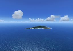
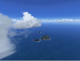
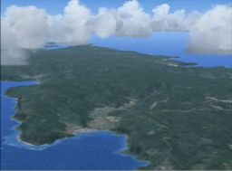
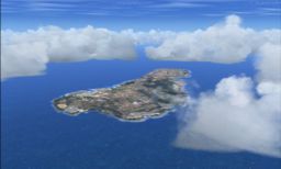
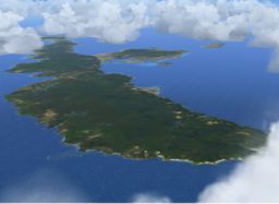
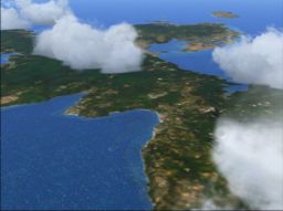
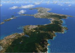
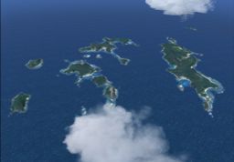
South West Islands are located around Okinawa: N31 E131( northeast ) to N24 E123( southwest ).
There is Tanegashima Space Center of JAXA (Japan Aerospace eXploration Agency) in Tanegashima located in the northeastern part, and a large number of satellites are launched. Yakushima located in west of Tanegashima is the natural rich island where close to 2000 m of mountains rise high, including Miyanouradake (1, 936m) of the highest peak in Kyushu. To possess close to 2000 m of altitude, though Yakushima is located in subtropical zone, vegetations which belong to the subarctic are spread in a crest, and the snow is confirmed in winter.
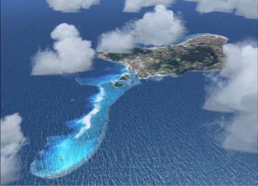

There is Tanegashima Space Center of JAXA (Japan Aerospace eXploration Agency) in Tanegashima located in the northeastern part, and a large number of satellites are launched. Yakushima located in west of Tanegashima is the natural rich island where close to 2000 m of mountains rise high, including Miyanouradake (1, 936m) of the highest peak in Kyushu. To possess close to 2000 m of altitude, though Yakushima is located in subtropical zone, vegetations which belong to the subarctic are spread in a crest, and the snow is confirmed in winter.
This is off topic, but...
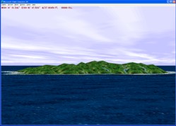
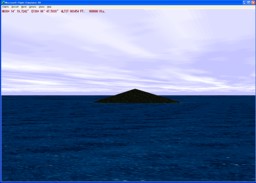
I began to design add-on scenery of Microsoft Flight Simulator from later 1990's, and the first island that I designed was Yakushima.
The polygon modeling was used for a design of islands in those days.
I remember that I had a hard time very much how I express the complicated topography of Yakushima
including hidden-surface processing.
|
|
|
| 1'st Island I designed | FS6 Default Yakushima... :-O |
On the other hand, the islands of Iriomote or Hateruma are located in the southwestern. It is not too much to say that Iriomote belongs to tropical zone. Most of the islands are designated as wildlife protection areas. The island abounds with rare species regardless of the animals and plants including "Iriomote wild cat". It is possible to observe the Southern Cross from Hateruma located in the south of Iriomote.
I was designing this scenery from 2007 to 2008. The bases were images of Landsat. But the respective images including Okinawa Island and Iriomote Island were covered by clouds. I tried the correction from which those clouds are removed, but it wasn't possible to bring about satisfactory results. I did not release this scenery. And I stopped the design of scenery from various reasons.
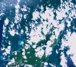

I was designing this scenery from 2007 to 2008. The bases were images of Landsat. But the respective images including Okinawa Island and Iriomote Island were covered by clouds. I tried the correction from which those clouds are removed, but it wasn't possible to bring about satisfactory results. I did not release this scenery. And I stopped the design of scenery from various reasons.
Many years have passed... There was a chance to see a recent Landsat image including Okinawa Island several months before. Surprisingly, Okinawa of the image was not covered by clouds. Furthermore, the image of Iriomote was not covered by clouds, too. And I resumed the design of this scenery.
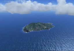
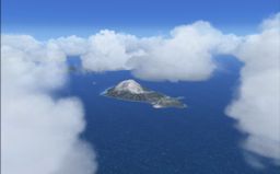
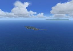
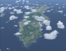
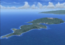
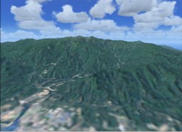
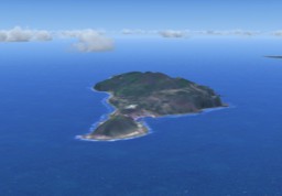
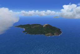
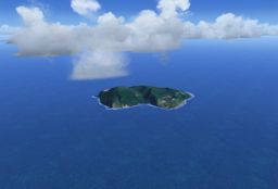
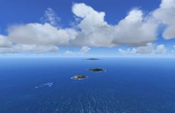
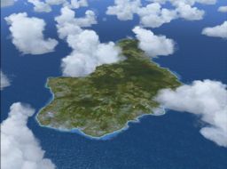
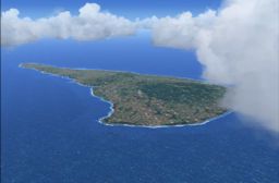
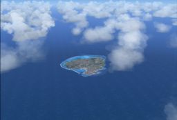
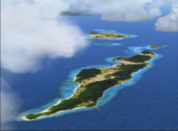
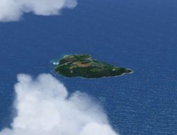
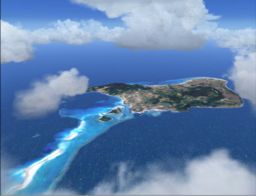
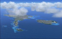
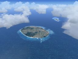
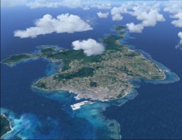
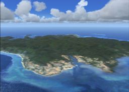
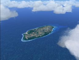
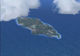
The pictures that appear by clicking the following map are the screen shots of the scene reproduced on the Flight Simulator X (FSX). I thought I'd like to reproduce the beautiful reefs and landform of the "South West Islands" on FSX. SWIJX will be released soon.
== Click the desired area ==
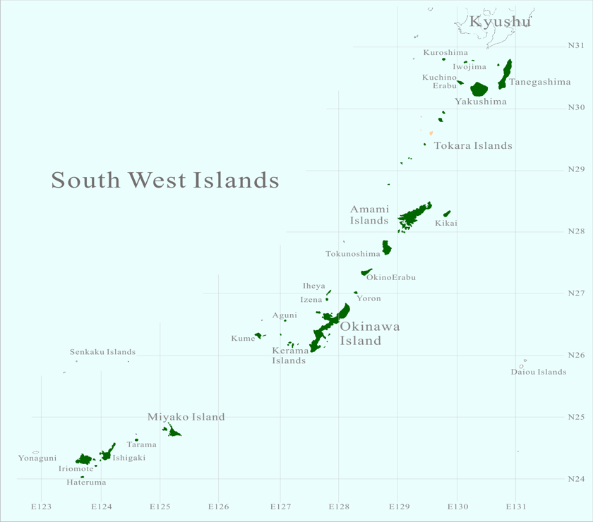
== Click the desired area ==

| Kuroshima | SatsumaIwojima | Takeshima |
| Tanegashima | KuchinoErabu | Yakushima |
| Tokara - Kuchinoshima | Tokara - Nakanoshima | Tokara - Akusekijima |
| Tokara - Kodakarajima | Tokara - Takarajima | Tokara - Yokoatejima |
| Amami Islands | Kikai | Tokunoshima |
| OkinoErabu | Yoron | Iheya Izena |
| Okinawa North | Okinawa Central | Okinawa South |
| Kerama | Aguni | Kume |


