FS9 / FSX Addon Scenery French Polynesia
Tuamotu Archipelago Group D
FS9 / FSX Addon Scenery French Polynesia
Tuamotu Archipelago Group D
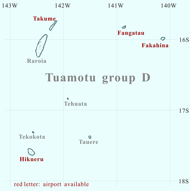
Click the desired island

Click the desired island
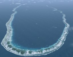
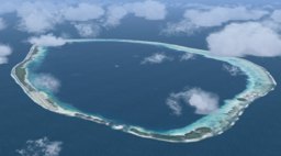
Do you know the raft named "Kon-Tiki"? In 1947, Norse's explorers (the commander is Thor Heyerdahl) voyaged from Peru to the Polynesia in Pacific Ocean. They tried to prove the race's movement from South America to the Pacific Ocean. The name of the raft is "Kon-Tiki". After the navigation of 101 days, they reached a small island in the Pacific Ocean at last. The island is Raroia.
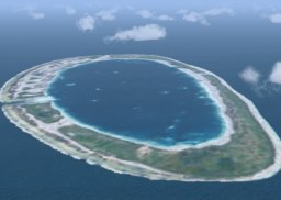
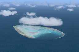
Oval-shaped atoll Raroia is located in the northeast 55 km of Taenga. The atoll measures 43 km length (south-southwest <-> north-northeast) and has a maximum width of around 14 km. The whole formation covers an area of 413 km2, with the deep central lagoon having a surface area of 359 km2.
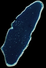
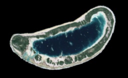
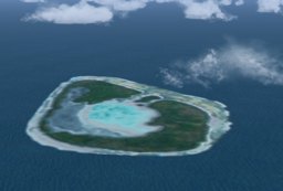
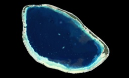
The small atoll Fakahina is located in a somewhat isolated position 75 km to the east of Fangatau. The atoll has a relatively broad rim that is topped by a near continuous land mass. The shape of the atoll is an oval. The lagoon and the open sea are slightly connected by the shallow passing located on the south side.
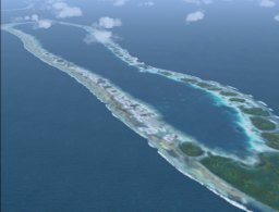
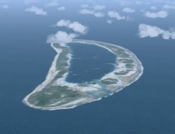
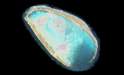
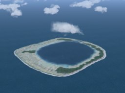
Tehuata is a very small atoll.
The pass that connects the lagoon to open water exists in the south of the island.
Very shallow lagoon seems to exist in the center of the atoll.
In my scenery,
there are the waters a little turbid in the northeast side of the lagoon.
This part seemed not the land area but a part of the lagoon to me.
Or, it might be a part where not the waters
but the corals have upheaved on the surface of the sea.
When I designed this scenery, I used the satellite image as former data.
I was not able to find it
though I looked for the data of the atoll taken from a different angle.
After having designed the scenery to the last minute,
this turbid waters were the mysteries to me.
Dr. Angela Kay Kepler answered my question about "turbid waters".
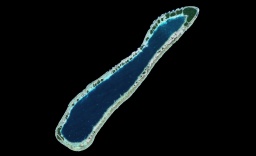
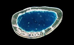
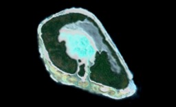
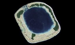
Tauere is a small atoll located in the northeast of Hao, and the distance from Hao is about 85km. The atoll has square shape. The belt of the atoll is wide, and has an oval-shaped lagoon on the inside. The lagoon is connected with the open sea in a shallow pass on the north side. It seems to be very deep though the lagoon is very small.


