FS9 / FSX Addon Scenery French Polynesia
Tuamotu Archipelago Group B
FS9 / FSX Addon Scenery French Polynesia
Tuamotu Archipelago Group B
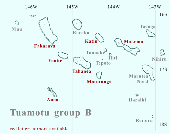
Click the desired island

Click the desired island
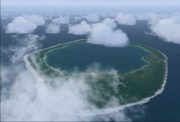
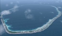
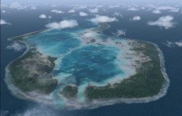
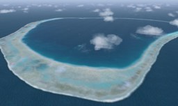
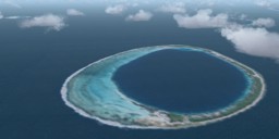
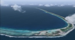
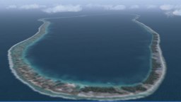
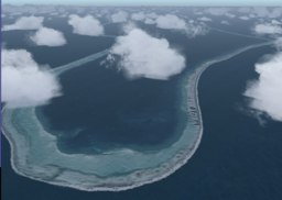
Niau is located at 60 km west of Fakarava. The atoll of Niau forms a complete ring and has a completely enclosed lagoon. The water color of the lagoon is green a little and it is said the water quality is hypersaline. The lagoon might be connected with the open sea underground. Otherwise, it seems that the lagoon dries up. Niau has a strange lagoon.
Dr. Angela Kay Kepler replied my question about "strange lagoon".
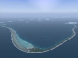
Fakarava is located at 450km north east from Tahiti island. Fakarava is shaped like a rectangle with a length of 60km and a width of 25km. One of the atolls in the central Tuamotu Archipelago, Fakarava is the second biggest atoll after Rangiroa. North channel "Garuae pass" is the largest one of Polynesia (1600m wide).
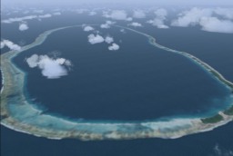
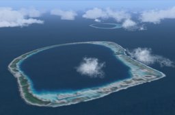
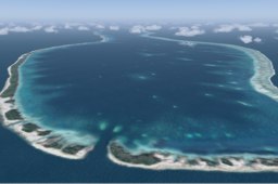
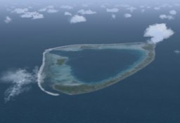
Faaite is a medium sized atoll located in the northwest of the archipelago; situated between the two larger atolls of Fakarava (20km to the northwest) and Tahanea (14km to the east-southeast). Its deep central lagoon is almost completely surrounded by a continuous reef rim. On the west side of the atoll, one narrow pass connects the lagoon with the open sea. The southern side of the atoll is formed by mostly submerged reef. On the other hand, in the north side of the atoll, the many islets range along the narrow reef, and are covered with the dense vegetation.
Tahanea is located in between the atolls of Faaite (12km northwest) and Motutunga (17 km southeast). Tahanea is a large uninhabited atoll, measuring 48 km in length and 15 km in width. The south side of the atoll consists of a broad reef flat with a scattering of small motu. On the north side, the reef is narrower and the reef islets longer and broader. Such geographical features are due to the effect of the trade winds. Three deep passes in the north side of the atoll connect the deep lagoon with the open sea.
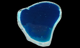
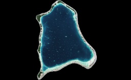
The information can hardly be obtained about Motutunga. I inferred about this atoll based on the scenery that I designed. The shape of the atoll is roughly inverted-triangle. Due to the effect of the trade winds, the islets are formed to northeastern and a wide reef is formed to southeast. There are two passes in the northwest of the atoll; they connect the lagoon with the open sea. It is uncertain whether there is enough depth that the ship can enter the lagoon through these passes.
A group of three small uninhabited atolls in the west-central Tuamotus is called the Raevsk atolls. Tuanake is located in the northernmost of the group. The atoll is situated in the south-southeast 15km of katiu. Tuanake is the largest of this group, in size (8 km by 6 km). The atoll is formed with two large and four small islets. In the south side of this atoll, a single narrow pass connects the lagoon with the open sea.
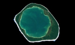
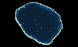
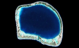
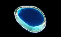
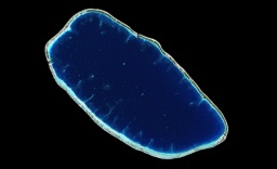
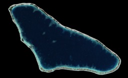
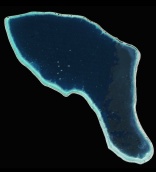
Hiti, one of the Raevsk atoll, is located in the southeast 5km of Tuanake. The atoll is a small egg shape. The atoll consists of an outer reef that completely encloses its interior lagoon. There is no reef crossing passage connecting the lagoon with the open ocean. In the northern side of the atoll the reef is narrow and covered on vegetated motu. In the south side of the atoll, the broad reef in the shape of a banana is formed.
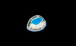
Tepoto sud, one of the Raevsk atoll, is located in the southwest 10km of Hiti. Tepoto Sud is one of the smallest atolls of the Tuamotu Archipelago, approximately 4 km long by 3 km wide. The atoll is formed with two main islands and one small pass connects the central lagoon with the open sea. It is a sweet island like a cake!!
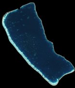
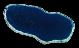
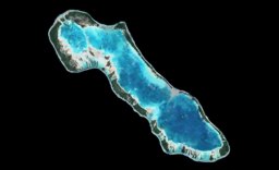
Katiu forms a medium-sized atoll, located within the Central West Group. It is a member of the twin chains atolls that run northwest to southeast in the northwestern regions of the archipelago. (see "Tuamotu Whole Map" in this home page) . Katiu is located in between the atolls of Raraka (38km northwest) and Makemo (25 km east). The atoll is a roughly rectangle shape, 25km long (northwest <-> southeast) by 12km wide. There are two passes on the north and west side of the atoll; they connect the lagoon with the open sea.
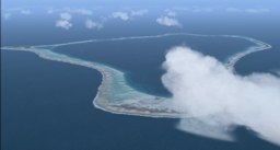
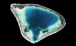
Taenga forms a medium-sized atoll, located in the northeast 35km of Makemo. The information can hardly be obtained about Taenga. I inferred about this atoll based on the scenery that I designed. The shape of the atoll is triangle. There is one passes in the south of the atoll; it connects the lagoon with the open sea. The southwest of the atoll lies in the wide reef; though the reef in the south starts developing and becoming motu, the west side is submerged.
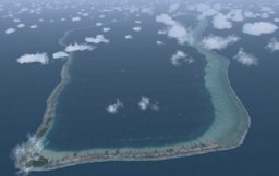
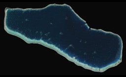
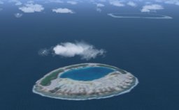
The atolls in the Tuamotu archipelago receive the influence of the trade winds. Then the islands are formed to northeast, and the reef is formed to the southwest. However, in Nihiru,the islands are formed to the northwest and the reef is formed to the southeast. The passage from which the ship can go in and out doesn't exist because the reef encloses the lagoon.
Haraiki is a small uninhabited atoll, whose shape is triangular.
A large pass at south of the atoll connects the lagoon to the open sea.
However, a submarine ridge is upheaving to the north side of the pass,
and the lagoon is divided.
In my scenery, the reef edge a part of the east side of the atoll collapses
and it submerges into the open sea. This might be my mistake.
There are some images that the reef doesn't submerge into the open sea.


