
French Polynesia Tuamotu Archipelago FS9/FSX Addon Scenery
Group E
Marokau - Ravahere
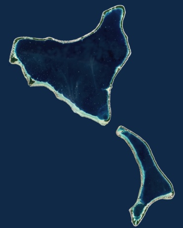

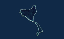
Size of Marokau-Ravahere relative to Rangiroa
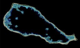

Size of Marokau-Ravahere relative to Rangiroa

The shape of Marokau is roughly triangular (20km in length).
The atoll is located less than 2 km north of Ravahere.
The reef spread out on the southwest side of the atoll is almost submerged.
On the north side and southeast side of the atoll,
though the upheaved reef is narrow, the land area is formed.
There seems to be a narrow passage where the lagoon is connected with the open sea
at the southwest of the atoll.
It is uncertain whether there is enough depth that
the ship can enter the lagoon through these passes.
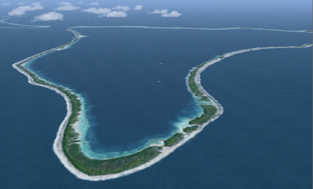
Marokau, the land area side
The shape of Marokau is roughly triangular (20km in length).
The atoll is located less than 2 km north of Ravahere.
The reef spread out on the southwest side of the atoll is almost submerged.
On the north side and southeast side of the atoll,
though the upheaved reef is narrow, the land area is formed.
There seems to be a narrow passage where the lagoon is connected with the open sea
at the southwest of the atoll.
It is uncertain whether there is enough depth that
the ship can enter the lagoon through these passes.

Marokau, the land area side
Ravahere is a small, boomerang-shaped atoll,
located nearby in the south of Marokau.
There is no passage connecting the lagoon into the open ocean.
The shallow lagoon is divided into two basins.
The smaller and shallower basin is found in the south of the lagoon.
It is separated from the main body of lagoon by
the submarine ridge extended from the west of the atoll.
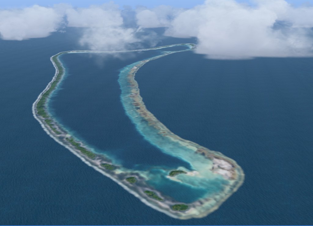
Rvahere, from over Marokau
Ravahere is a small, boomerang-shaped atoll,
located nearby in the south of Marokau.
There is no passage connecting the lagoon into the open ocean.
The shallow lagoon is divided into two basins.
The smaller and shallower basin is found in the south of the lagoon.
It is separated from the main body of lagoon by
the submarine ridge extended from the west of the atoll.

Rvahere, from over Marokau

